

No products in the cart.
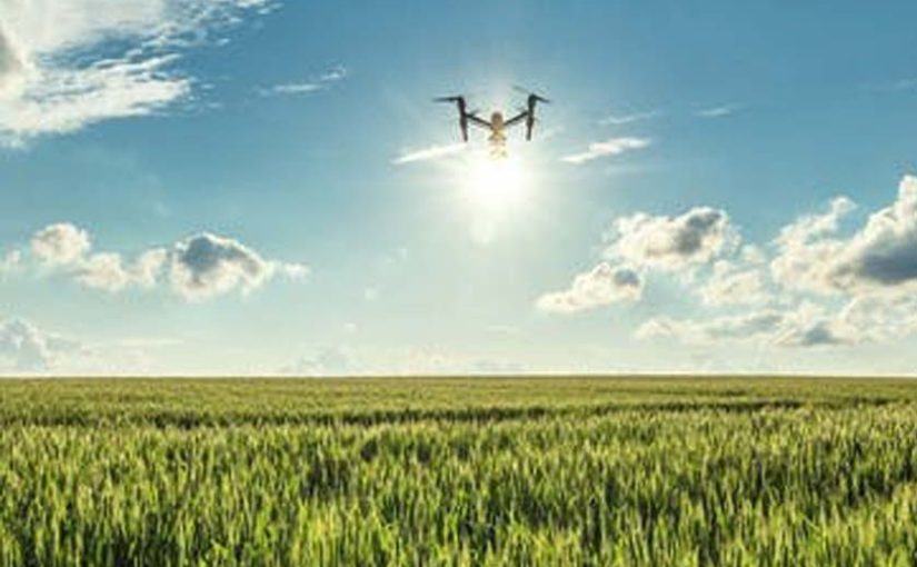
Estimates suggest the agricultural market for the machines will be in the billions of dollars in the coming years. As farmers try to adapt to climate change and deal with other challenges, drones promise to help make the whole farming enterprise more efficient.
When outfitted with cameras and other data-gathering devices, drones provide an “eye in the sky,” scouting for plant pests or dry spots in need of more attention. In some countries, drones are already regularly used to deliver fertilizers or pesticides; an estimated one in three bowls of rice served in Japanese homes is grown with the help of pesticide sprayed from an unmanned helicopter. Other tasks have yet to become mainstream.
- Crop assessment
Monitoring fields takes time and manpower. Drones can sweep through and take stock, inspecting for slow-growing plants that might need a hit of nitrogen or some other remedy. Sensors that measure particular wavelengths of light absorbed and reflected by plants can generate color contrast images that highlight problem areas in a field. Images generated from these data include NDVI (normalized difference vegetation index) maps, which have long been created using satellites and airplanes by calculating the ratio of the difference of near-infrared and visible light radiation. Newer sensors take advantage of additional wavelengths in the light spectrum and may add filters and other resolution-enhancing tricks.
- Counting cattle
Cattle ranchers with lots of land to cover are using drones to keep track of their livestock and survey where fences need fixing. When outfitted with high-definition thermal imagers and night-capable cameras, drones can also help survey for unwanted animals that might be ravaging a herd. (Such drones have also become a tool for tracking human poachers in places like India’s Kaziranga National Park, home of the one-horned rhino.)
- Monitoring for disease
Without close scrutiny, pathogens that wilt, wither and otherwise damage crops can escape detection and spread. While spectral imaging technologies can reveal yellowed plants within fields of green,
If a farmer knows of a pathogen outbreak in a nearby county, air sampling could provide an alert to its impending arrival. Federal and state agencies could also monitor for pathogens at a larger scale, allowing farmers to be at the ready before outbreaks occur.
- Water watch
Many fields aren’t uniformly flat. Some sections may dry out faster than others or be missed by watering equipment. Spectral and thermal imaging can reveal dry spots where crops will wither. Imaging can also detect leaks in equipment and irrigation canals. What’s more, farmers can assess the topography of their land with airborne laser scanning technologies or software that stitches together thousands of high-quality aerial photos into 3D maps. These maps can identify water catchments, reveal the water-flow direction at the base of each tree in an orchard and identify other land features that influence both the health of the crop and where soil erosion might become an issue.


Great content! Super high-quality! Keep it up! 🙂
Thanks, this website is really valuable.
Great website! It looks very good! Keep up the good job!
Many thanks for sharing your awesome websites.